No, I haven't been skiing much lately

| To my
family and friends who are always bugging me to send them pics from my
weekend (or longer) adventures. Here's a few of them: Now if I could just settle down a bit and find a girlfriend... |
|
|||||||
|
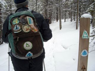
Appalachian Trail Continental Divide Trail Pacific Crest Trail Colorado Trail Thru-Hikes |
Inside Passage sea kayak Thru-Paddle | UWW Hang Gliding Club (from college in 1993) | Summit day on Denali (Mt. McKinley, Alaska) in 2004 | Trail Work on the CT/CDT |
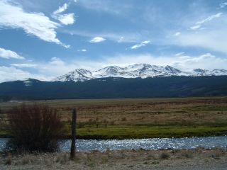
Skiing South America Farellones, Chile (el Colorado, la Parva, Valle Nevado in 2005 |
|||
| Adventures From: | 2003-2005 | 2005-2006 | Winter '07-'08 | China | ||||
Winter 2006-2007
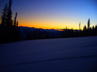
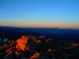
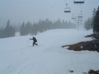
No, I haven't been skiing much lately
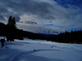
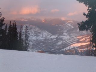
A little of everything on Saturday, including touring under a full moonlight
night, with the bonus of a lunar eclipse at sunset.


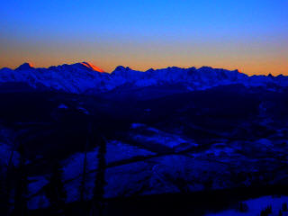
The last weekend of February was the
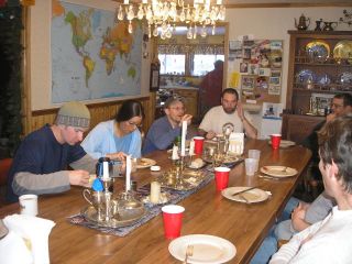
Rockies Ruck at the Leadville Hostel - A
gathering of individuals who share a passion for long distance trails. Most in
attendance have hiked the entire Appalachian Trail, Pacific Trail, or
Continental Divide Trails (or all of them, known as the Triple Crown). The
days were spent ski touring areas near Tennessee Pass, and the evenings brought oohs and aahs watching videos of thru-hikers
slog their way across America.
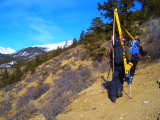
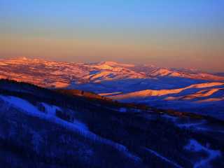
Mt. Colombia climb. We could take the easy route, but why? Up the
Colorado Trail to the ridgeline, skin up unconsolidated snow (you know... slide
back two steps for every one you try to take forward), wade through waist deep
snow (now we're making good time—about ½ mph. Ugh), walk over sharp, pointy rocks,
and feel the 30-50mph winds screaming across our faces. By the time we
reached 13,200ft it was 4pm, and we decided to head down. That was an
adventure in itself, but I won't get into that right now. We reached the
truck at 9pm and hit the only restaurant still open in Buena Vista: Pizza Hut.
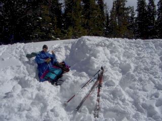
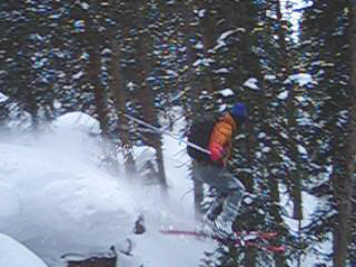
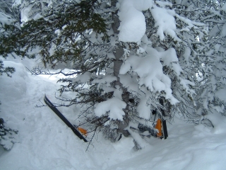
Just another pathetic, dull, boring weekend at the huts. Bad friends,
lousy food, awful skiing. Life sucks, doesn't it? I wish I spent my
free time in front of the TV.
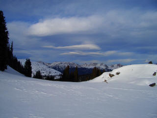
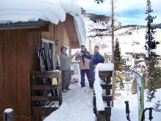
Fowler-Hilliard Hut near Vail Pass. We haven't had any new snow for some
time, but we still found some very tasty lines.
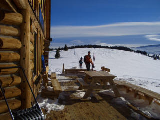
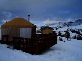
Last minute trip to the Emma
and Kate Yurts in Leadville.
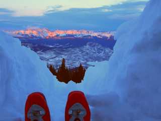
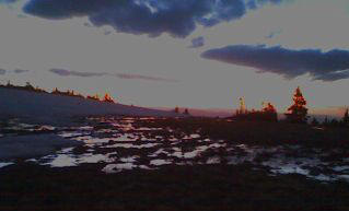
Taking a break at sunset from snowcave reconstruction (the roof sank three
feet), and skiing Baldy bowl later Sunday.
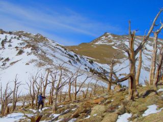
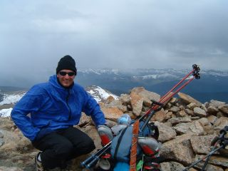
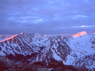
Mt. Elbert 14,433ft. This weekend is supposed to be cold. -15 to
-25 degrees in fact. What to do this weekend... Ski crowded slopes?
No thanks. Why not climb the state's highest peak? What a
great idea! The weather was still pre frontal and mild (5 degrees
Sunday morning and an inch of new snow), and I only used about a third of my
cold weather gear. I thought my -40° sleeping
bag was going to give me heat stroke!
We started from the parking lot in 20 degree temps, and
arrived at 11,500 camp with some ominous clouds swirling above. Near the
summit the next day, the light snow slowly disappeared, and we even had some
peeks of the sun near the summit.


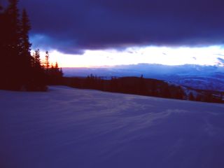
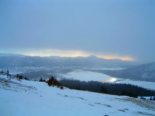
XC skiing at the Beav'. In other news this weekend:
The big
slide at Berthoud Pass


Skiing the CDT and Tennessee Lakes area


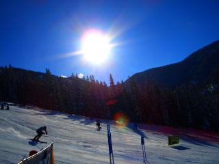
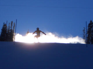
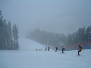
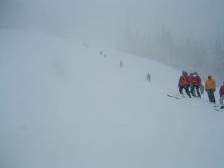
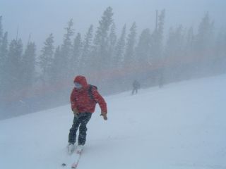
Course Maintenance - Beaver Creek Birds of Prey World Cup
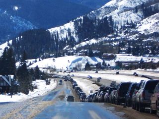
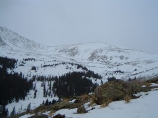
The storm that closed Vail Pass only dumped 4-8" in the last day, but that's
a good enough excuse to skin up to the top of Beaver Creek Wednesday night,
camp, get up at 6am, pack up, ski down completely untracked runs (the Beav
doesn't open for another week), take the shuttle bus to the West Lot, cross the
street and go home, shower, and be at work by 9am.
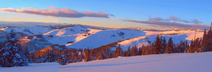
2½ day Vail Pass
to Blue Sky to Vail Village adventure
↑Winter 2006-2007
Winter 2005 - Fall 2006
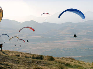
Early November flying at Point of the Mountain, Utah.
We stayed in Park City, thanks to the discounted lodging Alex found. If
you've been to Utah, you gotta love their state liquor laws. Are you a
club member? You can only have a heavy beer if you're having dinner.
Can I have a sidecar with that?
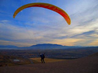
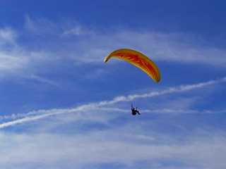
My first paragliding solo--Sep 30 off of Bellyache Ridge near Wolcott
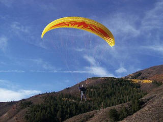
Well, you're probably wondering why I
learned to Paraglide if I used to Hang Glide. Good Question. During a
Hobbits Outdoor Club meeting in college, the proprietor of the local
hang-gliding business was looking for students with an interest in flying.
Although I see myself as an adventure junkie versus adrenaline junkie, I wanted
to give it a try. I went through the process of starting a University club
/ student organization to find other students interested in hang-gliding and to
receive discounts on training and equipment usage.
After moving to Vail, my interests grew (I'm sure you realize
that by now) and I would have to get extremely creative finding a way to store a
hang glider in my condo. After almost a decade of not flying, the sky
is calling again. It's great to see the earth from a 14,000 - 20,000
foot peak, but even better to see it from the air. With a very limited
number of hang-glider pilots in the area, and not having many mountain foot launches
under my belt,
I made a bid for a tandem flight with
Greg Kelley at one of our
Vail Mountain Rescue fundraisers last winter. The rest is history.
 |
|
 |
Two day adventure from East Lake Creek again! We didn't make it to our
original goal of Gold Dust Peak or Gold Dust Lakes, but at least we made it to
what was probably the water powered (via several mile long flume) rock crusher.

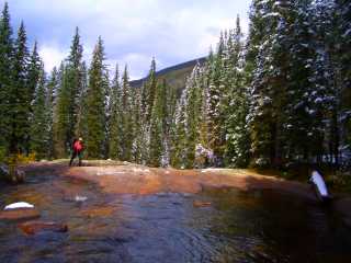

Two day adventure from East Lake Creek TrailHead
to peaks Eagle and UnNamed 13,100
(aka South Eagle). Get back to the TH at 1am on Monday. Ugh.


An evening of bowling from *@$!


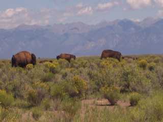
Nothing like a little snow in August. Alamosa has received almost 8 times the normal rainfall this summer, and
winter will be here soon...

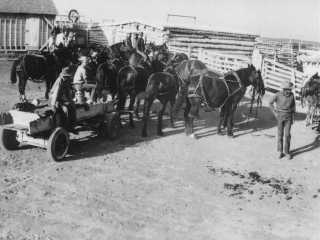
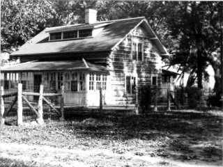
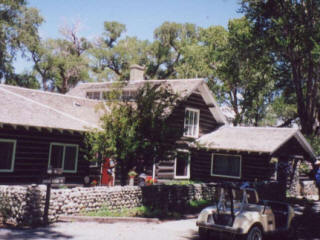
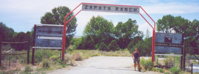
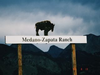
Barbeque at the
The Nature
Conservancy's Medano Zapata -- the Linger ranch back in the early 1900s
 Click here for video

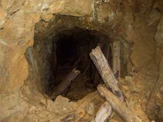
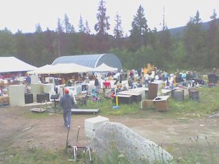
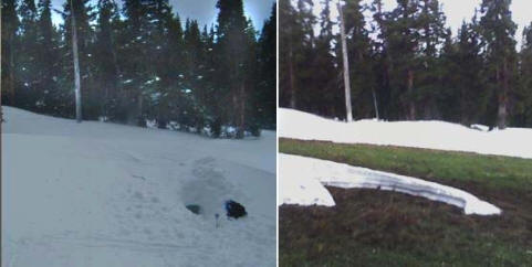
After volunteering at the Minturn Rummage Sale, I needed to see what kind of
stuff was left.
I found a Li-Ion battery charger and decided to buy it for a buck. I
figured the 5 megapixel camera I found on the Mt. Jackson ski
was dead from sitting in the snow and rain for several months (after dinner one
evening, I popped it in the oven overnight once it cooled to below 120°F
to dry it out). When I arrived home, I bent the pins on the charger
so they would strike the contacts on the battery. I held my breath, hoping
to see the charger glow red with joy. It did! Cool. The next
morning, I popped it in the camera, hit the power button, and expected nothing.
To my great surprise, I heard the motor roar to life, the zoom lens rotated to
full length, and a set time/date screen blinked to life on the LCD display.
WOW!


Avon to Beaver Creek PHQ to Grouse Mtn to Cross Creek to Fancy Pass to Holy Cross City
to Fall Creek Pass to Tuhare Lakes to Lake Constantine to 12,500 feet on
Notch Mountain (thunderstorms turned me around) to Tigiwon
Rd.
Hitched a ride back home in less than five minutes (ran into some
friends who just hiked the Halo Ridge Route!). Had to settle for the
camera phone for these shots. Click here
for last year's Holy Cross Ridge loop.

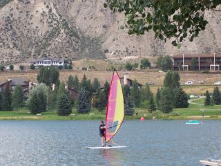
Family in town... No major adventures this weekend. Ground school in
the morning, sailboard in the afternoon, more ground school in the late
afternoon, and top it off with dinner and live music, and some fun in
Wolcott.
The weekend was going to be hot. A strong,
upper-level ridge was
heading our way, bringing with it, stagnant hot air (as I write this, I found
out it was 106° in Denver this weekend). On Thursday, July
13, I was getting a Bachelor Gulch permit for my company vehicle and ran into a
former classmate from my EMT course a couple years back. He lives off of Homestake road and was
planning on canoeing at the
reservoir
the next couple of days.
A few days ago, he glanced down at Nottingham Lake from the
gatehouse and saw a sailboard zigzagging its way around the lake like a
weight on the end of a pendulum. I told him that was me, my third time on
the board, given to me by a ski buddy. His plan for the weekend was to go
canoeing and fishing on the res. I told him about my idea of sailing on
Homestake, and our weekend plans were now set.
Unfortunately, I don't have any pictures from the
Homestake
Reservoir adventure.
As I neared camp on the far shore late Friday, I noticed something strange. I had two
glowing objects emanating from my pack. If one was my
always-on-LED-flashlight, what was the other one? As I got closer, I saw
the square display and washed out image from a broken LCD display (which
happened on Mt Jackson, and broke the
display again on Middle Mountain last
summer. I pulled the camera out of three zipper lock bags and found water
all over the camera. I took the batteries out and resealed it in the bags
again. I let it bake in the sun for the next two days and hoped for the
best. Well, I recovered the photos from the card, but I get a dreaded
flashing red light when I try to take a picture. With a possibly blown CCD,
I now have myself a wonderfully expensive paperweight. Oh well, I've had the
camera for several years now, and considering where I've taken it, I didn't
expect it to last this long. Until now, the Fuji A303 has taken almost all
the pictures on this web site.
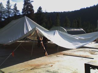
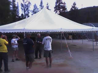
VMRG fundraising: volunteering for the famous
Minturn
Rummage
Sale. Erecting the furniture / auction tent.
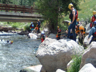
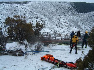
Swiftwater Rescue training on Gore Creek
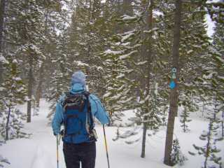
First backpack of the summer. Avon to Buck Creek to Nottingham Ridge
Trail to Metcalf Creek Rd. to Moniger Road to Flagstone Park to Piney River to
Meadow Creek Trail to Elliott Ridge. Camp on the summit of Meridian Peak.
Upper Cataract Trail to Lower Cataract Lake / Green Mountain Reservoir.
Hitch a ride to Avon in less than an hour. Whew.


Bike to 11,440ft, hike to 11,700ft(pass my old snowcave sites), camp under a full moon,
and hear nothing but the sounds of silence (except for a noisy
Ptarmigan)
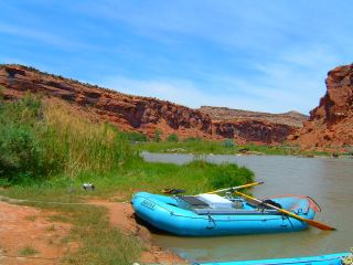
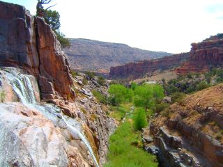
Gunnison River / Dominguez Canyon
Wilderness Study Area
three day paddle and hike. My first snowless weekend in almost seven months
Last Weekend's Weather: snow & 23° - This Weekend: 101°


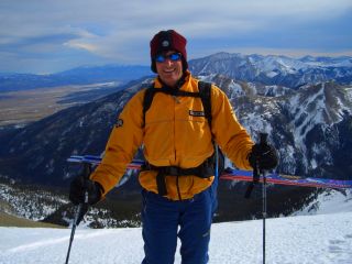
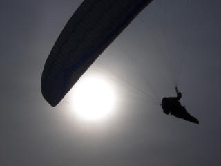
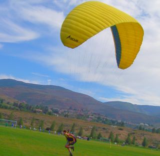
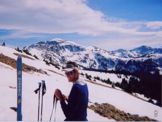
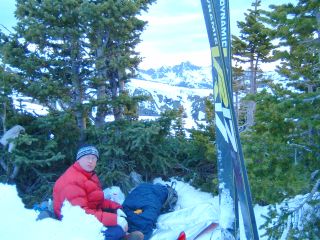
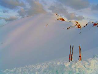
My first paragliding tandem - stayed up and ridge soared
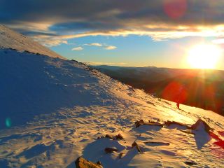
for an hour (Mt Jackson in the background of both pics)

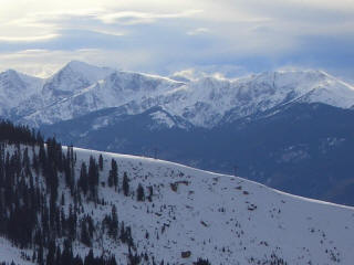
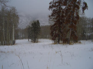
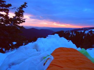
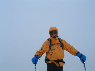
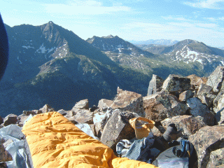
Mt. Jackson - Memorial Day Weekend
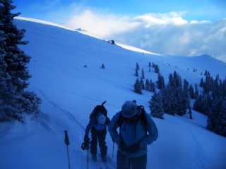
We started Saturday morning under bright sun and hiked our way up to the snow at
Beaver Creek around 10,800 feet. The ski up was much better, especially since
we removed 10 pounds of skis and boots from our packs. Not to mention I scored
a 5MP digital camera (I wonder how many of these are lost on ski runs across
Colorado each year)—too bad it doesn’t work. I also found a mini automatic tape
measure (hey, I can use to measure snowpits) buried in the snow near the
snowboard park. As we neared timberline, I showed Hap my snowcave locations I
dug over the past six months. We continued on to the top of the Bald Spot and
headed down the narrow sliver of snow on the south face. When we reached the
north side of Grouse Mountain, we donned our skins again and headed up to the
saddle to ski the west flank of the mountain. It was getting late in the
afternoon, the winds were picking up slightly (they were calling for gusts to
60mph today, but didn't get anywhere close to that). We found a patch of trees
near the krummholz zone and decided to call it camp. We built a snow wall to
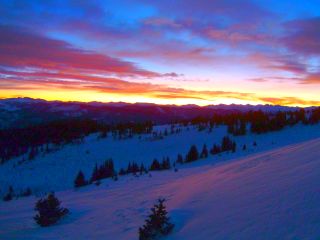
protect us from the wind, watched the alpenglow melt away from a bright red to a
deep purple as the evening progressed, and settled down for the night.
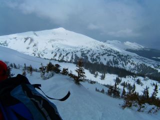
The next morning brought us some
moderate winds, which zipped around our camp and walloped the top of Grouse
Mountain. We were on the move by 9am and worked our way around the east side of
Mt Jackson's cirque that contains the headwaters for Beaver Creek. I removed my
ski boots and put on my tennis shoes for the long rock scramble we had to the
summit. As I turned my head to the heavens, I saw high cirrus clouds at the
leading edge of a cold front that is due tonight. It was almost eleven a.m.,
and the clouds were starting to thicken into stratocumulus. There was no
vertical development to the clouds, and the dark cloud bases that are usually
evident this time of the day were absent. We took a break at the 13,000ft
plateau, and I showed Hap where Neil and I snowcave camped in a drift on last
year's climb. The last scramble to the summit stood there in front of us, with
the last rock tower on the ridge staring us down like we were no bigger than
grains of sand. At around 2pm we made the summit under mostly cloudy skies and
light winds. After finding our names in the peak register from climbs in years
past, we packed up and headed down.
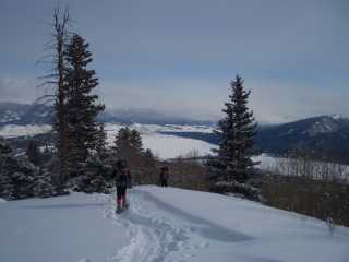
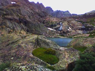
At around 13,000 feet, we reached the
snowfield that snaked its way along Jackson's north flank down to timberline.
The corn was perfect, the winds were still light, and cloudbase was slowly
inching its way out of the sky and towards our destination. At treeline, we
removed our skis and hiked through the dirt down a steep couloir towards Upper
Turquoise Lake. Near the bottom, the sky opened up and pelted us with on and
off snow. We built our camp in the trees, and strung a tarp between two spruce
trunks for protection from the steady snow. Around sunset, the weather tapered
off, leaving us with two inches of new snow. From the steep walls above, the
winds started howling high above us as the cold front roared its way into the
northern end of the Sawatch Range. We left our camp and headed into a grove of
tight trees overlooking the lake for dinner. We headed back around dusk and
called it a day.
On Memorial Day, we were up early to
climb out of the Beaver Creek drainage and back up to the side of Grouse
Mountain. Although our trek involved little avalanche danger, looking at my
watch early this morning and seeing a temperature of 23° gave me a good
indication that the snow would not be wet and prone to slide. Without a trail
corridor or cut logs visible, the trail is difficult to find in the winter as it
weaves through rock bands and around cliffs, so we headed straight up and
managed to stay clear of the hulking rocks that can dead end quickly. As we
skied to the top of West Grouse Creek and back up the back side of the Bald
Spot, the clouds thickened into the altostratus variety and the sky belched
their strong winds into our faces at 12,000 feet. As we weaved back through the
trees down below, we headed down the Golden Eagle ski run (Birds of Prey World
Cup course) to around 9,900 feet where the last ribbon of snow faded into a
puddle of water. I put my tennis shoes back on and we hiked down through the
finish arena at Red Tail Camp, and on to the base of the Beav’.


Biking the "Quadruple" bypass: Avon to Vail, to Vail Pass, to Copper Mountain,
to Fremont Pass, to Leadville, to Tennessee Pass, to Redcliff, to Hwy 24 over
Battle Mtn (no, that technically isn't a pass), to Minturn, and back to Avon.


1Meet two friends from Denver to ski French Mtn. 2Arrive
at trailhead to find their truck stuck on a snowdrift covering the road.
They then proceed to tell me that one of them had their pack stolen out of the back of the truck last
night in Leadville. 3Free truck by 11am. After giving it
some thought, they decide to throw in the towel and head home. 4My plan B: Do anything but go home! Bivy at 13,000 ft. on the south
side of Massive (build camp at 11pm under a full moon) and summit the next
morning.
Mt. Massive randonnée (randonnée is French for excursion—and no, it doesn't mean "can't tele"!)

Commando Run–Vail Pass to Lionshead


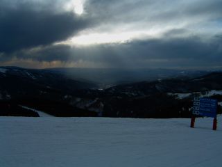
Volunteered for The Community Pride I-70 Trash Clean-up Saturday, and blown off Breck's Peak 10 by 40mph winds Sunday

Closing day at Vail. Off the mountain by 11pm—fifteen minutes earlier than
last year
Closing weekend at the Beav


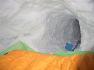
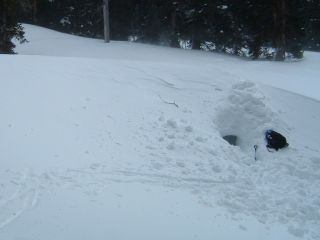
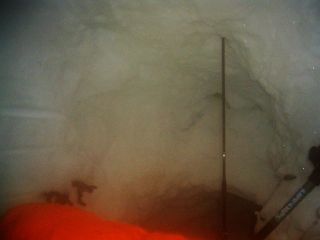
20-50mph winds. What a great night build a shelter and sleep under the
snow! Wake up at 6am, ski home, shower, and get to work by 9.
VMRG High angle rescue training
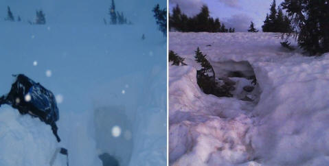
in the morning, and ... Snowcave reconstruction in the evening.
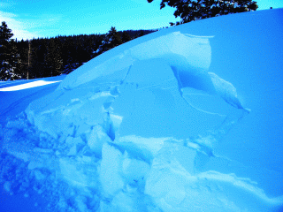
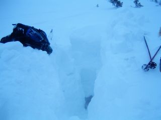
BURIED! - had to dig 7 feet down to get to the old entrance

3 days at the Waunita Hot Springs Lodge - Monarch Pass to Waunita Hot Springs
side trip


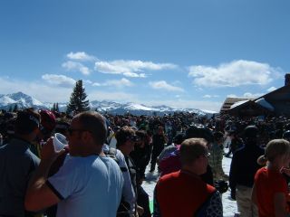
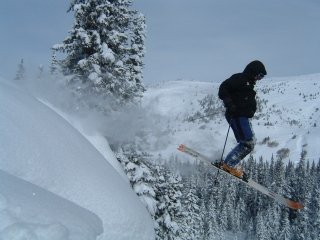
Enjoying our secret stashes with a new foot of fresh on one of the busiest Saturdays of the year.
We only had to wait in one lift line all day.
Two day Mt Elbert climb to 14,433ft
While skiing with some friends on Saturday, one
(who works for Guest Services) mentioned that someone skied from Beaver Creek to
Edwards a while back. What a great idea!
Snowcave camp Sat. night, ski past the Edwards water tank, and down the recreation path to
the Edwards Ambi Building.


Snowcave camping for the first time this season Sunday night (well, since
skiing Chile in September).
It's nice to live in a location where I can skin up to timberline above the ski
area at the end of the day, build a snow structure and sleep in it, ski down
12"-18" of new snow early the next morning—although it was only 3"
this time—and go to work by 9am.

Course Maintenance - Beaver Creek Birds of Prey Race Weekend


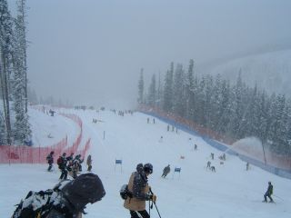
Course Maintenance - Beaver Creek Birds of Prey World Cup Course
- Removing snow the weekend before the race (well, trying to)
2½ day Vail Pass to Blue Sky to Vail
Village adventure
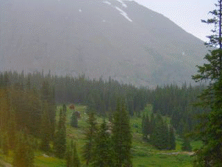
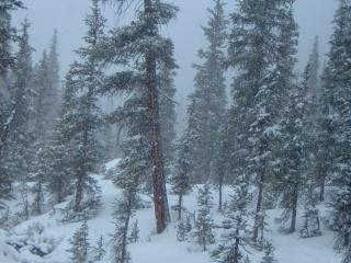
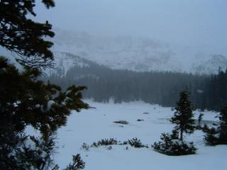
Hiked up to Beaver Lake Friday night after the day's thunderstorms,
and skied up to Upper Turquoise Lake Saturday 11/11 - 11/13

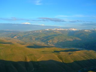
Just playing with the Google Earth software and my new laptop... A view
from 5729 feet above my condo.

Contact me
All Copyright©2006 Andrew Linger
07/12/15
